
Canton San Pedro de Quemes topographic map
Interactive map
Click on the map to display elevation.
About this map
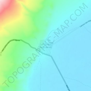
Name: Canton San Pedro de Quemes topographic map, elevation, terrain.
Average elevation: 3,726 m
Minimum elevation: 3,661 m
Maximum elevation: 4,000 m