
Günthersdorf topographic map
Interactive map
Click on the map to display elevation.
About this map
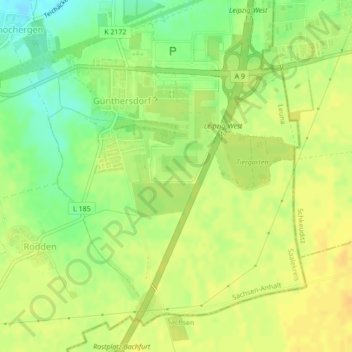
Name: Günthersdorf topographic map, elevation, terrain.
Location: Günthersdorf, Leuna, Saalekreis, Sachsen-Anhalt, Deutschland (51.32802 12.15997 51.34963 12.19444)
Average elevation: 114 m
Minimum elevation: 97 m
Maximum elevation: 124 m
Other topographic maps
Click on a map to view its topography, its elevation and its terrain.
Leuna
Deutschland > Sachsen-Anhalt > Saalekreis > Leuna > Leuna
Leuna, Saalekreis, Sachsen-Anhalt, 06217, Deutschland
Average elevation: 100 m