
Şahinbey topographic map
Interactive map
Click on the map to display elevation.
About this map
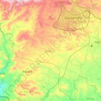
Name: Şahinbey topographic map, elevation, terrain.
Location: Şahinbey, Gaziantep, Southeastern Anatolia Region, Turkey (36.72380 37.00005 37.13164 37.52267)
Average elevation: 775 m
Minimum elevation: 505 m
Maximum elevation: 1,467 m
Other topographic maps
Click on a map to view its topography, its elevation and its terrain.