
Ellsworth topographic map
Interactive map
Click on the map to display elevation.
About this map
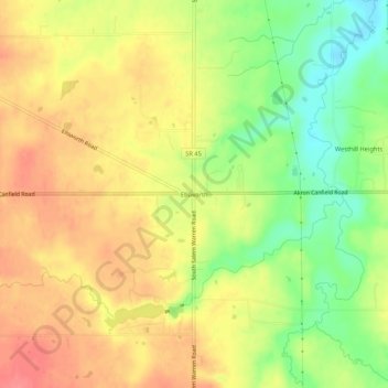
Name: Ellsworth topographic map, elevation, terrain.
Location: Ellsworth, Mahoning County, Ohio, United States (41.00423 -80.87731 41.04423 -80.83731)
Average elevation: 321 m
Minimum elevation: 281 m
Maximum elevation: 352 m