
Taşoluk topographic map
Interactive map
Click on the map to display elevation.
About this map
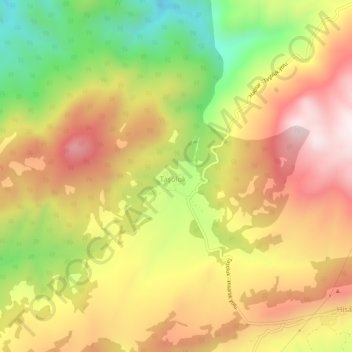
Name: Taşoluk topographic map, elevation, terrain.
Location: Taşoluk, Geyve, Sakarya, Marmara Region, Turkey (40.40170 30.12753 40.44170 30.16753)
Average elevation: 584 m
Minimum elevation: 189 m
Maximum elevation: 920 m