
Fort Harry topographic map
Interactive map
Click on the map to display elevation.
About this map
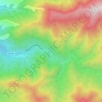
Name: Fort Harry topographic map, elevation, terrain.
Location: Fort Harry, Sevier County, Tennessee, United States (35.61871 -83.49433 35.65871 -83.45433)
Average elevation: 1,308 m
Minimum elevation: 805 m
Maximum elevation: 1,899 m