
Thank you for supporting this site ❤️
Make a donation
Make a donation
Sumpter topographic map
Click on the map to display elevation.
Thank you for supporting this site ❤️
Make a donation
Make a donation
About this map
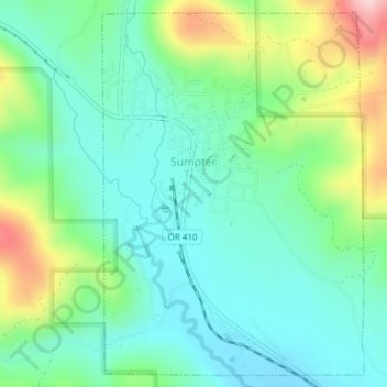
Name: Sumpter topographic map, elevation, terrain.
Location: Sumpter, Baker County, Oregon, 97877, United States (44.73090 -118.21025 44.75625 -118.18451)
Average elevation: 1,393 m
Minimum elevation: 1,316 m
Maximum elevation: 1,584 m
Thank you for supporting this site ❤️
Make a donation
Make a donation