
旗山湖公园 topographic map
Interactive map
Click on the map to display elevation.
About this map
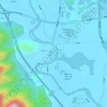
Name: 旗山湖公园 topographic map, elevation, terrain.
Location: 旗山湖公园, 闽侯县, 福州市, 福建省, 中国 (26.04238 119.18543 26.04639 119.18946)
Average elevation: 31 m
Minimum elevation: -1 m
Maximum elevation: 319 m
Other topographic maps
Click on a map to view its topography, its elevation and its terrain.