
Abdij Lilbosch & voormalig Klooster Mariahoop topographic map
Interactive map
Click on the map to display elevation.
About this map
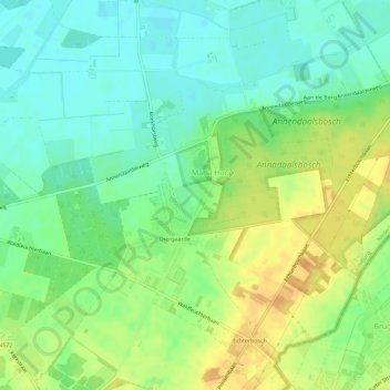
Name: Abdij Lilbosch & voormalig Klooster Mariahoop topographic map, elevation, terrain.
Average elevation: 41 m
Minimum elevation: 26 m
Maximum elevation: 61 m