
会稽山 topographic map
Interactive map
Click on the map to display elevation.
About this map
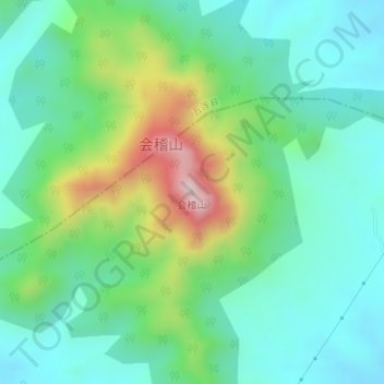
Name: 会稽山 topographic map, elevation, terrain.
Location: 会稽山, 日照市, 山东省, 276800, 中国 (35.57306 119.39168 35.57316 119.39178)
Average elevation: 241 m
Minimum elevation: 109 m
Maximum elevation: 587 m
Other topographic maps
Click on a map to view its topography, its elevation and its terrain.