
Stanley topographic map
Interactive map
Click on the map to display elevation.
About this map
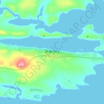
Name: Stanley topographic map, elevation, terrain.
Location: Stanley, Falkland Islands (-51.70187 -57.91348 -51.68613 -57.79130)
Average elevation: 18 m
Minimum elevation: -1 m
Maximum elevation: 136 m