
Manupali River topographic map
Interactive map
Click on the map to display elevation.
About this map
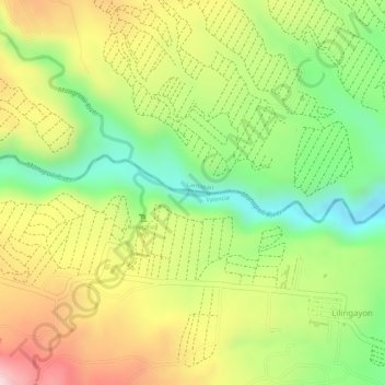
Name: Manupali River topographic map, elevation, terrain.
Average elevation: 824 m
Minimum elevation: 663 m
Maximum elevation: 990 m
Other topographic maps
Click on a map to view its topography, its elevation and its terrain.
Malingon Creek
Philippines > Bukidnon > Valencia
Malingon Creek, Valencia, Bukidnon, Northern Mindanao, Philippines
Average elevation: 514 m
Valencia
Philippines > Bukidnon > Valencia
Valencia, Bukidnon, Northern Mindanao, 8708, Philippines
Average elevation: 566 m