
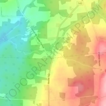
Hatley Centre topographic map
Interactive map
Click on the map to display elevation.
About this map
Name: Hatley Centre topographic map, elevation, terrain.
Average elevation: 245 m
Minimum elevation: 184 m
Maximum elevation: 309 m
Other topographic maps
Click on a map to view its topography, its elevation and its terrain.
Eustis
Canada > Québec > Memphrémagog > Hatley (Canton)
Eustis, Hatley (Canton), Memphrémagog, Estrie, Québec, J0B 2C0, Canada
Average elevation: 242 m
Albert Mines
Canada > Québec > Memphrémagog > Hatley (Canton)
Albert Mines, Hatley (Canton), Memphrémagog, Estrie, Québec, J1N 0B5, Canada
Average elevation: 277 m
Hatley (Canton)
Canada > Québec > Memphrémagog > Hatley (Canton)
Hatley (Canton), Memphrémagog, Estrie, Québec, J0B 2C0, Canada
Average elevation: 247 m