
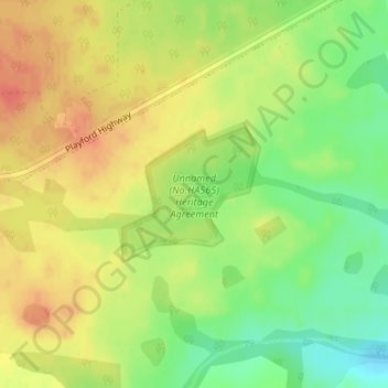
Unnamed (No.HA565) Heritage Agreement topographic map
Interactive map
Click on the map to display elevation.
About this map
Name: Unnamed (No.HA565) Heritage Agreement topographic map, elevation, terrain.
Average elevation: 194 m
Minimum elevation: 167 m
Maximum elevation: 215 m
Other topographic maps
Click on a map to view its topography, its elevation and its terrain.
Kangaroo Island
Australia > South Australia > Kangaroo Island Council
Kangaroo Island, Kangaroo Island Council, South Australia, Australia
Average elevation: 22 m