
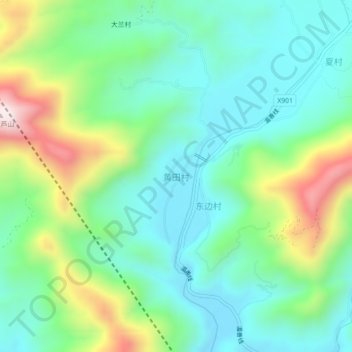
黄田村 topographic map
Interactive map
Click on the map to display elevation.
About this map
Name: 黄田村 topographic map, elevation, terrain.
Location: 黄田村, 蕉城区, 宁德市, 福建省, 中国 (26.86321 119.42669 26.90321 119.46669)
Average elevation: 224 m
Minimum elevation: 34 m
Maximum elevation: 692 m
Other topographic maps
Click on a map to view its topography, its elevation and its terrain.