
Gerzen topographic map
Interactive map
Click on the map to display elevation.
About this map
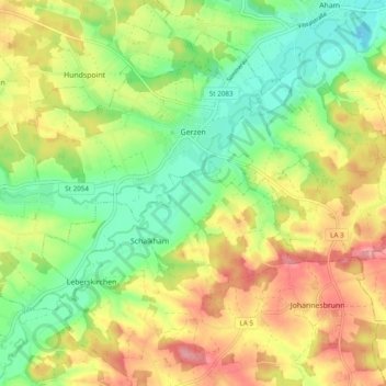
Name: Gerzen topographic map, elevation, terrain.
Location: Gerzen, Gerzen (VGem), Landkreis Landshut, Bayern, Deutschland (48.47030 12.35033 48.52370 12.44694)
Average elevation: 462 m
Minimum elevation: 410 m
Maximum elevation: 526 m