
Kampung Denger topographic map
Interactive map
Click on the map to display elevation.
About this map
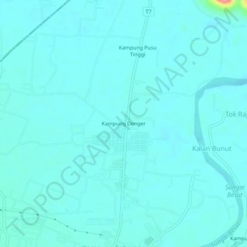
Name: Kampung Denger topographic map, elevation, terrain.
Location: Kampung Denger, Jertih, Besut, Terengganu, 22000, Malaysia (5.74321 102.46841 5.78321 102.50841)
Average elevation: 10 m
Minimum elevation: 0 m
Maximum elevation: 95 m