
Криничненское сельское поселение topographic map
Interactive map
Click on the map to display elevation.
About this map
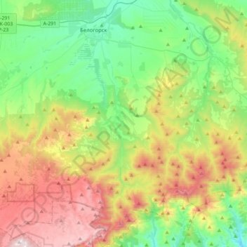
Name: Криничненское сельское поселение topographic map, elevation, terrain.
Location: Криничненское сельское поселение, Белогорский район, Украина (44.84245 34.54769 45.08789 34.71102)
Average elevation: 485 m
Minimum elevation: 77 m
Maximum elevation: 1,218 m