
Hinterholzhausen topographic map
Interactive map
Click on the map to display elevation.
About this map
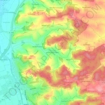
Name: Hinterholzhausen topographic map, elevation, terrain.
Average elevation: 474 m
Minimum elevation: 416 m
Maximum elevation: 527 m
Other topographic maps
Click on a map to view its topography, its elevation and its terrain.
Pottenau
Deutschland > Bayern > Landkreis Erding > Langenpreising
Pottenau, Langenpreising, Wartenberg (VGem), Landkreis Erding, Bayern, Deutschland
Average elevation: 417 m