
Nevado Olivares topographic map
Interactive map
Click on the map to display elevation.
About this map
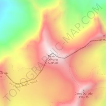
Name: Nevado Olivares topographic map, elevation, terrain.
Average elevation: 4,555 m
Minimum elevation: 3,920 m
Maximum elevation: 5,002 m
Other topographic maps
Click on a map to view its topography, its elevation and its terrain.
Cerro Chorrillo
Chile > Región de Valparaíso > Los Andes
Cerro Chorrillo, Los Andes, Provincia de Los Andes, Región de Valparaíso, Chile
Average elevation: 3,747 m