
Gadenstedt topographic map
Interactive map
Click on the map to display elevation.
About this map
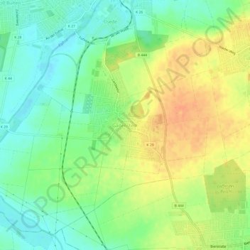
Name: Gadenstedt topographic map, elevation, terrain.
Average elevation: 85 m
Minimum elevation: 68 m
Maximum elevation: 106 m
Other topographic maps
Click on a map to view its topography, its elevation and its terrain.
Groß Bülten
Deutschland > Niedersachsen > Ilsede > Groß Bülten
Groß Bülten, Ilsede, Landkreis Peine, Niedersachsen, 31241, Deutschland
Average elevation: 79 m