
广阳镇 topographic map
Interactive map
Click on the map to display elevation.
About this map
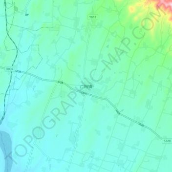
Name: 广阳镇 topographic map, elevation, terrain.
Location: 广阳镇, 方城县, 南阳市, 河南省, 中国 (33.24400 112.66100 33.32400 112.74100)
Average elevation: 188 m
Minimum elevation: 140 m
Maximum elevation: 454 m