
Thank you for supporting this site ❤️
Make a donation
Make a donation
Colonche topographic map
Click on the map to display elevation.
Thank you for supporting this site ❤️
Make a donation
Make a donation
About this map
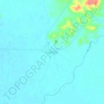
Name: Colonche topographic map, elevation, terrain.
Location: Colonche, Parroquia Colonche, Santa Elena, 240109, Ecuador (-2.04185 -80.68939 -2.00185 -80.64939)
Average elevation: 14 m
Minimum elevation: 3 m
Maximum elevation: 88 m
Thank you for supporting this site ❤️
Make a donation
Make a donation
Other topographic maps
Click on a map to view its topography, its elevation and its terrain.
Thank you for supporting this site ❤️
Make a donation
Make a donation
Thank you for supporting this site ❤️
Make a donation
Make a donation