
Ardagh East ED topographic map
Interactive map
Click on the map to display elevation.
About this map
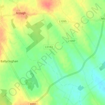
Name: Ardagh East ED topographic map, elevation, terrain.
Location: Ardagh East ED, Breany, County Longford, Leinster, Ireland (53.63228 -7.69356 53.67228 -7.65356)
Average elevation: 93 m
Minimum elevation: 70 m
Maximum elevation: 124 m