
Leedey topographic map
Interactive map
Click on the map to display elevation.
About this map
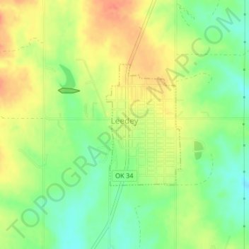
Name: Leedey topographic map, elevation, terrain.
Location: Leedey, Dewey County, Oklahoma, 73654, United States (35.86280 -99.35008 35.87595 -99.34014)
Average elevation: 627 m
Minimum elevation: 602 m
Maximum elevation: 650 m
Other topographic maps
Click on a map to view its topography, its elevation and its terrain.
Putnam
United States > Oklahoma > Dewey County
Putnam, Dewey County, Oklahoma, 73659, United States
Average elevation: 595 m