
Pudur topographic map
Interactive map
Click on the map to display elevation.
About this map
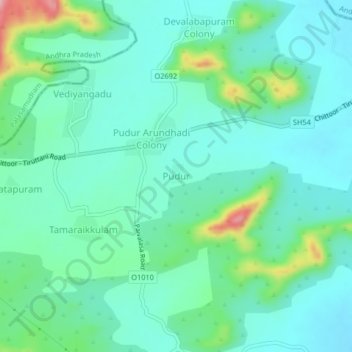
Name: Pudur topographic map, elevation, terrain.
Location: Pudur, Pallipattu, Thiruvallur District, Tamil Nadu, India (13.08161 79.30968 13.12161 79.34968)
Average elevation: 216 m
Minimum elevation: 180 m
Maximum elevation: 341 m
Other topographic maps
Click on a map to view its topography, its elevation and its terrain.
Vediyangadu
India > Tamil Nadu > Pallipattu
Vediyangadu, Pallipattu, Thiruvallur District, Tamil Nadu, India
Average elevation: 241 m