
Sint Maarten topographic map
Interactive map
Click on the map to display elevation.
About this map
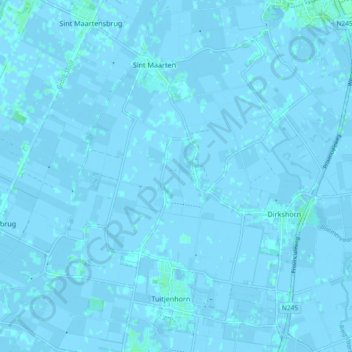
Name: Sint Maarten topographic map, elevation, terrain.
Location: Sint Maarten, Schagen, Noord-Holland, Nederland (52.73236 4.70323 52.77946 4.79580)
Average elevation: 0 m
Minimum elevation: -4 m
Maximum elevation: 4 m
Other topographic maps
Click on a map to view its topography, its elevation and its terrain.
Eenigenburg
Nederland > Noord-Holland > Sint Maarten
Eenigenburg, Sint Maarten, Schagen, Noord-Holland, Nederland, 1744 JD, Nederland
Average elevation: 0 m