
Thank you for supporting this site ❤️
Make a donation
Make a donation
Danfebir topographic map
Click on the map to display elevation.
Thank you for supporting this site ❤️
Make a donation
Make a donation
About this map
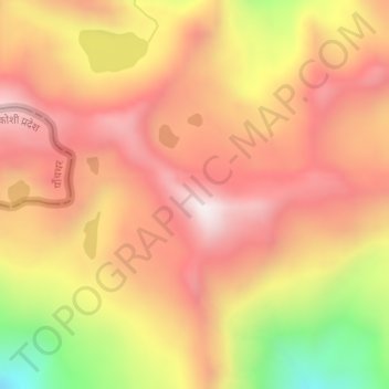
Name: Danfebir topographic map, elevation, terrain.
Location: Danfebir, Gyalshing, Gyalshing District, Sikkim, India (27.41737 88.07975 27.43737 88.09975)
Average elevation: 4,330 m
Minimum elevation: 3,832 m
Maximum elevation: 4,628 m
Thank you for supporting this site ❤️
Make a donation
Make a donation