
Dầu Tiếng District topographic map
Interactive map
Click on the map to display elevation.
About this map
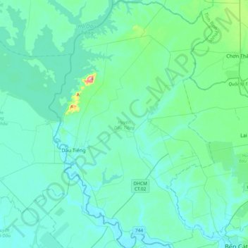
Name: Dầu Tiếng District topographic map, elevation, terrain.
Location: Dầu Tiếng District, Bình Dương Province, Vietnam (11.13601 106.32789 11.50159 106.57652)
Average elevation: 31 m
Minimum elevation: -2 m
Maximum elevation: 276 m
Other topographic maps
Click on a map to view its topography, its elevation and its terrain.
Phú Giáo District
Phú Giáo District, Bình Dương Province, Vietnam
Average elevation: 55 m