
Mount Ida topographic map
Interactive map
Click on the map to display elevation.
About this map
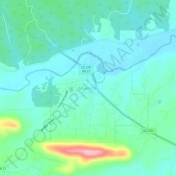
Name: Mount Ida topographic map, elevation, terrain.
Location: Mount Ida, Montgomery County, Arkansas, United States (34.53441 -93.65279 34.57441 -93.61279)
Average elevation: 216 m
Minimum elevation: 184 m
Maximum elevation: 337 m