
Stoughton topographic map
Interactive map
Click on the map to display elevation.
About this map
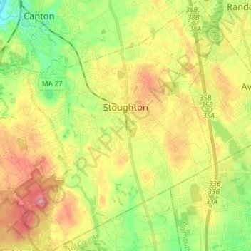
Name: Stoughton topographic map, elevation, terrain.
Location: Stoughton, Norfolk County, Massachusetts, United States (42.07276 -71.15018 42.16406 -71.05651)
Average elevation: 66 m
Minimum elevation: 11 m
Maximum elevation: 129 m