
Grote Nete topographic map
Interactive map
Click on the map to display elevation.
About this map
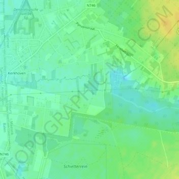
Name: Grote Nete topographic map, elevation, terrain.
Location: Grote Nete, Lommel, Maaseik, Limburg, 3941, België (51.15529 5.26145 51.15965 5.30180)
Average elevation: 46 m
Minimum elevation: 36 m
Maximum elevation: 59 m