
Gunung Argapura topographic map
Interactive map
Click on the map to display elevation.
About this map
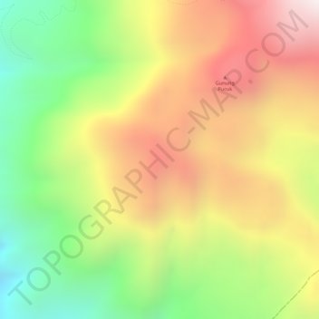
Name: Gunung Argapura topographic map, elevation, terrain.
Location: Gunung Argapura, Majalengka Regency, West Java, Indonesia (-6.92672 108.38606 -6.92662 108.38616)
Average elevation: 1,831 m
Minimum elevation: 1,344 m
Maximum elevation: 2,279 m
Other topographic maps
Click on a map to view its topography, its elevation and its terrain.
Sukabumi
At an altitude of approximately 584 m (1,916 ft), the city is a minor hill station resort, with a cooler climate than the surrounding lowlands. The area around Sukabumi is also a popular destination for whitewater rafting. Tea and Rubber production is a major industry in the area. The suburban area surrounding…
Average elevation: 570 m