
PAP topographic map
Interactive map
Click on the map to display elevation.
About this map
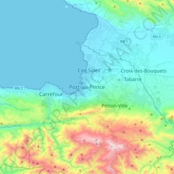
Name: PAP topographic map, elevation, terrain.
Location: PAP, Port-au-Prince, Département de l'Ouest, BP98, Haiti (18.38733 -72.49959 18.70733 -72.17959)
Average elevation: 376 m
Minimum elevation: 0 m
Maximum elevation: 1,919 m