
Thank you for supporting this site ❤️
Make a donation
Make a donation
Platte topographic map
Click on the map to display elevation.
Thank you for supporting this site ❤️
Make a donation
Make a donation
About this map
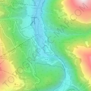
Name: Platte topographic map, elevation, terrain.
Location: Platte, Sölden, Bezirk Imst, 6450, Austria (46.93504 10.99454 46.97504 11.03454)
Average elevation: 1,809 m
Minimum elevation: 1,340 m
Maximum elevation: 2,724 m
Thank you for supporting this site ❤️
Make a donation
Make a donation