
Saurath topographic map
Interactive map
Click on the map to display elevation.
About this map
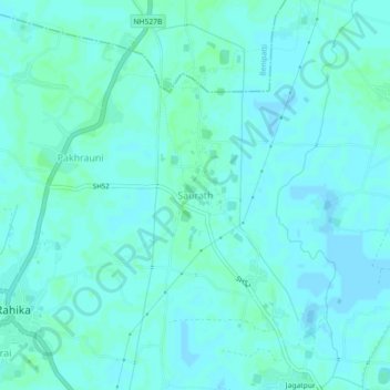
Name: Saurath topographic map, elevation, terrain.
Location: Saurath, Madhubani, Bihar, 847213, India (26.37290 86.02010 26.41290 86.06010)
Average elevation: 56 m
Minimum elevation: 54 m
Maximum elevation: 59 m