
Muang Nga topographic map
Interactive map
Click on the map to display elevation.
About this map
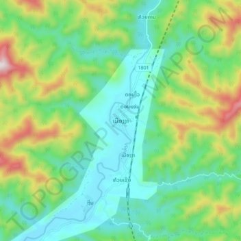
Name: Muang Nga topographic map, elevation, terrain.
Location: Muang Nga, Nga District, Oudomxay, Laos (20.23924 101.93579 20.31924 102.01579)
Average elevation: 733 m
Minimum elevation: 492 m
Maximum elevation: 1,296 m