
鄣山村 topographic map
Interactive map
Click on the map to display elevation.
About this map
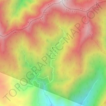
Name: 鄣山村 topographic map, elevation, terrain.
Location: 鄣山村, 大鄣山乡, 婺源县, 上饶市, 江西省, 中国 (29.52326 117.72643 29.56326 117.76643)
Average elevation: 1,085 m
Minimum elevation: 440 m
Maximum elevation: 1,598 m