
Thank you for supporting this site ❤️
Make a donation
Make a donation
Richland topographic map
Click on the map to display elevation.
Thank you for supporting this site ❤️
Make a donation
Make a donation
About this map
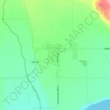
Name: Richland topographic map, elevation, terrain.
Location: Richland, Baker County, Oregon, United States (44.76485 -117.17220 44.77038 -117.16524)
Average elevation: 669 m
Minimum elevation: 627 m
Maximum elevation: 766 m
Thank you for supporting this site ❤️
Make a donation
Make a donation