
Hainichen topographic map
Click on the map to display elevation.
About this map
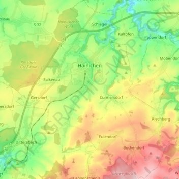
Name: Hainichen topographic map, elevation, terrain.
Location: Hainichen, Mittelsachsen, Saxony, 09661, Germany (50.90995 13.05807 51.00852 13.20890)
Average elevation: 341 m
Minimum elevation: 243 m
Maximum elevation: 474 m
Other topographic maps
Click on a map to view its topography, its elevation and its terrain.