
St Patricks River topographic map
Interactive map
Click on the map to display elevation.
About this map
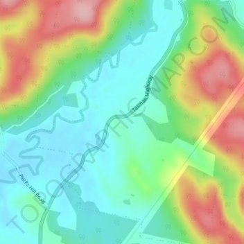
Name: St Patricks River topographic map, elevation, terrain.
Location: St Patricks River, Targa, Tasmania, Australia (-41.33503 147.34939 -41.31503 147.36939)
Average elevation: 436 m
Minimum elevation: 379 m
Maximum elevation: 540 m