
稻地镇 topographic map
Interactive map
Click on the map to display elevation.
About this map
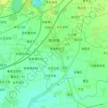
Name: 稻地镇 topographic map, elevation, terrain.
Location: 稻地镇, 路南区, 唐山市, 河北省, 063000, 中国 (39.48554 118.14493 39.56977 118.27365)
Average elevation: 9 m
Minimum elevation: 3 m
Maximum elevation: 17 m
Other topographic maps
Click on a map to view its topography, its elevation and its terrain.