
East Irondale topographic map
Interactive map
Click on the map to display elevation.
About this map
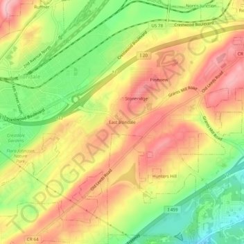
Name: East Irondale topographic map, elevation, terrain.
Average elevation: 254 m
Minimum elevation: 165 m
Maximum elevation: 329 m
Other topographic maps
Click on a map to view its topography, its elevation and its terrain.
Battleground
United States > Alabama > Jefferson County > Irondale
Battleground, Irondale, Jefferson County, Alabama, 35210, United States
Average elevation: 225 m