
Kampung Kundur Tengah topographic map
Interactive map
Click on the map to display elevation.
About this map
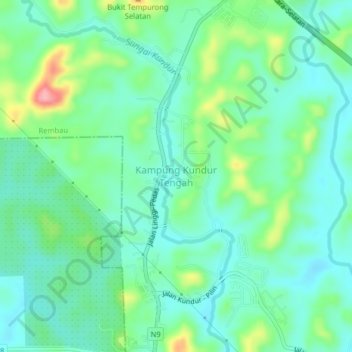
Name: Kampung Kundur Tengah topographic map, elevation, terrain.
Location: Kampung Kundur Tengah, Rembau, Negeri Sembilan, Malaysia (2.51878 102.01737 2.55878 102.05737)
Average elevation: 43 m
Minimum elevation: 11 m
Maximum elevation: 131 m