
Gondosuli topographic map
Interactive map
Click on the map to display elevation.
About this map
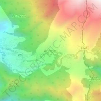
Name: Gondosuli topographic map, elevation, terrain.
Location: Gondosuli, Karanganyar, Central Java, Indonesia (-7.68349 111.15483 -7.64349 111.19483)
Average elevation: 1,808 m
Minimum elevation: 1,275 m
Maximum elevation: 2,462 m