
Arbaouat topographic map
Interactive map
Click on the map to display elevation.
About this map
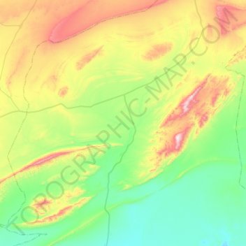
Name: Arbaouat topographic map, elevation, terrain.
Location: Arbaouat, Daïra El Abiodh Sidi Cheikh, El Bayadh, Algérie (32.94335 0.31872 33.33870 0.83676)
Average elevation: 1,144 m
Minimum elevation: 903 m
Maximum elevation: 1,730 m