
Gregg topographic map
Interactive map
Click on the map to display elevation.
About this map
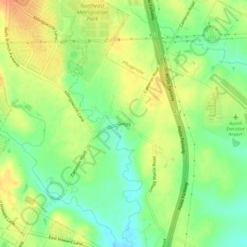
Name: Gregg topographic map, elevation, terrain.
Location: Gregg, Travis County, Texas, United States (30.37550 -97.61043 30.41550 -97.57043)
Average elevation: 187 m
Minimum elevation: 166 m
Maximum elevation: 207 m