
Oğlananası topographic map
Interactive map
Click on the map to display elevation.
About this map
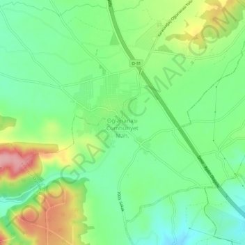
Name: Oğlananası topographic map, elevation, terrain.
Location: Oğlananası, Menderes, Izmir, Aegean Region, 35470, Turkey (38.21968 27.20458 38.25968 27.24458)
Average elevation: 137 m
Minimum elevation: 87 m
Maximum elevation: 225 m