
Queens County topographic map
Interactive map
Click on the map to display elevation.
About this map
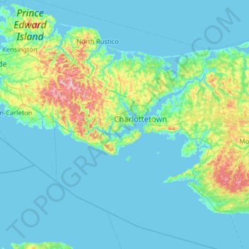
Name: Queens County topographic map, elevation, terrain.
Location: Queens County, Prince Edward Island, Canada (45.85802 -63.63164 46.57752 -62.63042)
Average elevation: 16 m
Minimum elevation: -3 m
Maximum elevation: 139 m