
Bull Shoals topographic map
Interactive map
Click on the map to display elevation.
About this map
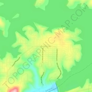
Name: Bull Shoals topographic map, elevation, terrain.
Location: Bull Shoals, Marion County, Arkansas, 72619, United States (36.36396 -92.60155 36.40396 -92.56155)
Average elevation: 211 m
Minimum elevation: 137 m
Maximum elevation: 331 m